search
Street map of Venice italy
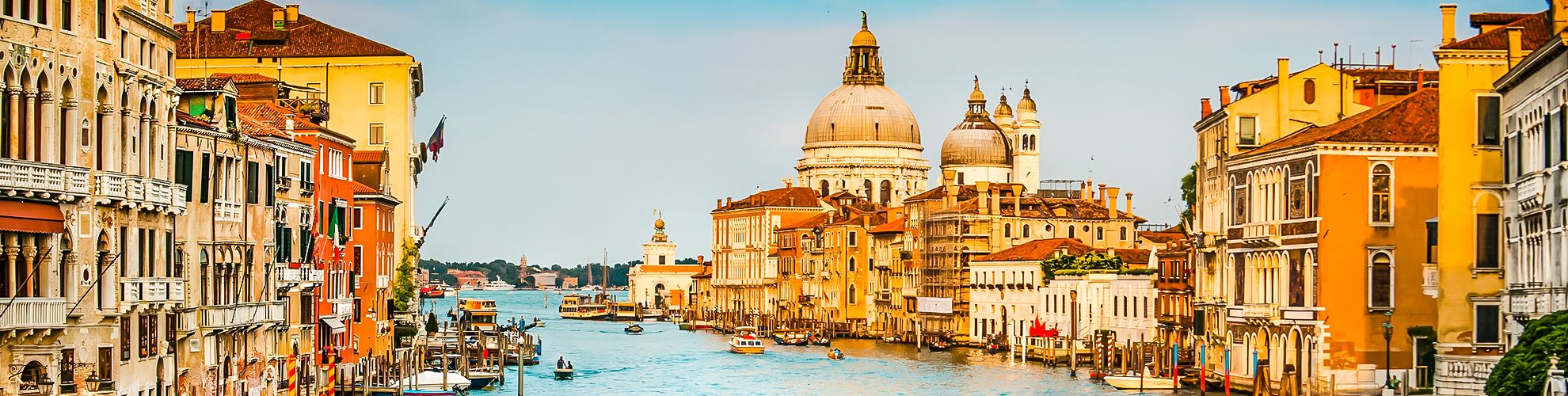
Street map of Venice italy free. Street map of Venice italy (Italy) to print. Street map of Venice italy (Italy) to download. The city of Venice italy is built on more than 100 individual islands. While there is only one main road and two proper side streets as its shown in street map of Venice italy, 170 canals run through the lagoon city. The rest are small alleys, bridges and narrow paths. You can reach Venice by car via the Ponte della Libertà.
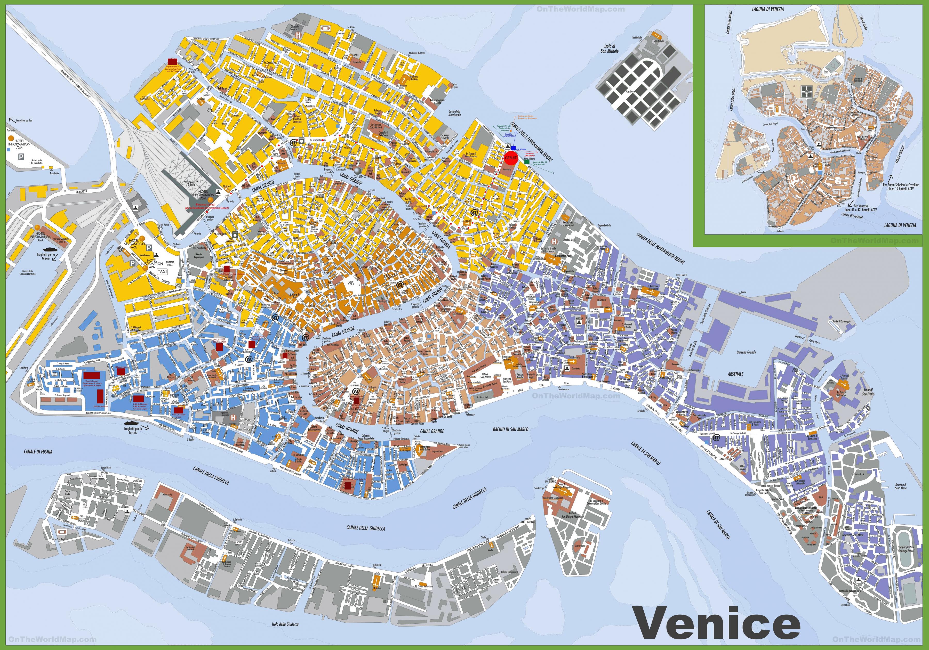
Walking along “Riva del Vin” (Wine Street) without getting drunk and on “Rio Terà degli Assassini” (the assassin street) without being afraid. When you go on “Ponte dei Pugni” (the Bridge of Fists) without having to be on guard or along the “Calle del Vento” (Windy Street) without being cold (see street map of Venice italy). Many streets in Venice italy have the same name. For example, there is more than one “calle del Forno” or “del Forner” (the baker street), “del Maragon” or ” del Magazen” (the warehouse street), or “del Tragheto” (the ferry street).
In Venice italy, there are many ways to say ‘street.’ A stone paved street is called either a “calle,” “ruga” or “salizada.” “Rio terà” refers to a street over an old canal and a “sottoportego” is a street that goes under a house as its mentioned in street map of Venice italy. The Venice streets get their names not only from their characteristics but also from where they are. The names of many streets are tied to the history of a famous family that lived in the area or the saint a nearby church is named after.