search
Dorsoduro Venice map
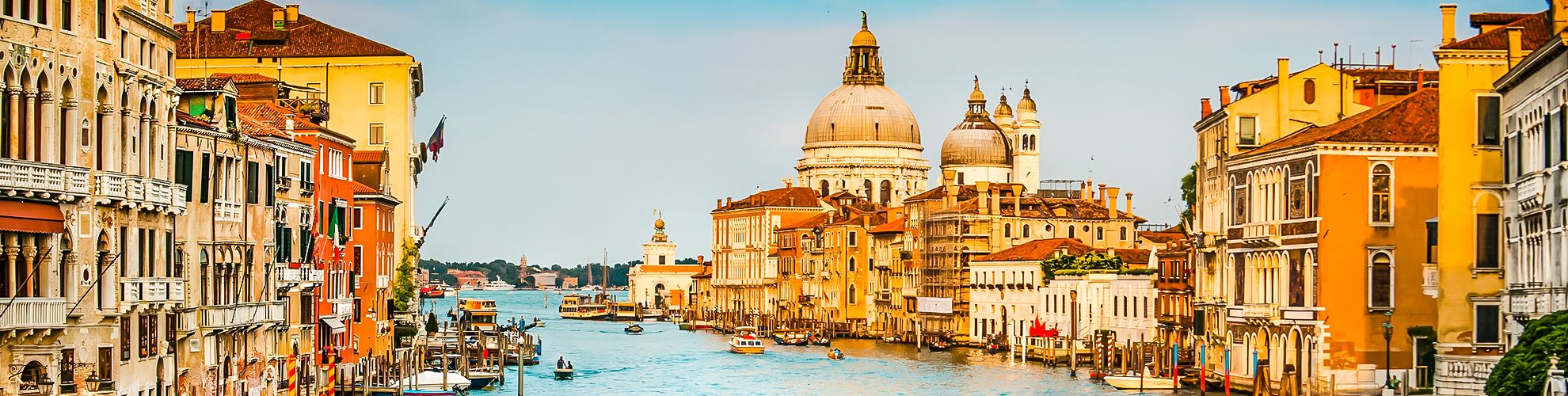
Map of dorsoduro Venice. Dorsoduro Venice map (Italy) to print. Dorsoduro Venice map (Italy) to download. Dorsoduro is one of the six sestieri of Venice, northern Italy. Dorsoduro includes the highest land areas of the city and also Giudecca island and Isola Sacca Fisola. Its name derives from the Italian for "hard ridge", due to its comparatively high, stable land. It is linked with sestiere of San Marco through Ponte dell’Accademia and it borders with the districts of Santa Croce and San Polo, with the Grand Canal on another side and finally with the Giudecca Canal on the Zattere side. Also the island Giudecca and its Canal are parts of Dorsoduro as its shown in dorsoduro Venice map. The original heart of dorsoduro Venice was the Giudecca Canal, along which building were constructed from the sixth century

Dorsoduro Venice is so named because it raised up on a not many swampy area so it is considered more stable than the others. Attractions on the main islands of Dorsoduro as its mentioned in dorsoduro Venice map include the Peggy Guggenheim Collection, the Palazzo Dario, San Trovaso, San Pantalon, San Nicolò da Tolentino, the Ospedale Giustinian, the Church of San Sebastiano, the Palazzo Ariani, the Palazzo Zenobio, the Church of Santa Maria del Carmelo and Scuola Grande dei Carmini, Campo Santa Margherita, Ca' Foscari, Ca' Rezzonico and Campo San Barnaba.