search
Venice bridges map
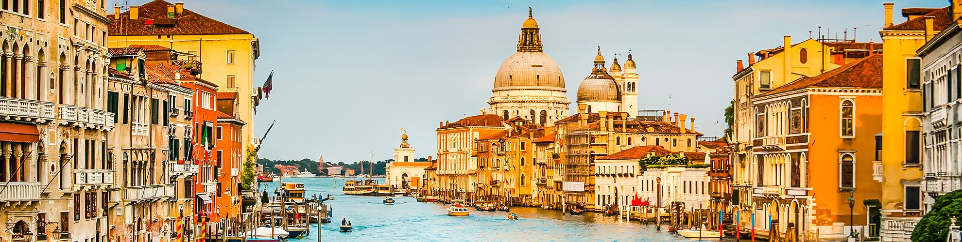
Map of Venice bridges. Venice bridges map (Italy) to print. Venice bridges map (Italy) to download. Venice, often called the "City of Canals," and the "Floating City," is also known as the "City of Bridges" because of the numerous spans that crisscross its waterways as its shown in Venice bridges map. While many of Venice 400-plus bridges are nondescript and practical, many embody the beauty and history of this fascinating photographic city. The most famous bridges in the floating city are the Rialto Bridge called Ponte di Rialto, famous for its row of shops, and the bridge of sighs connected to the Doge Palace.

Venice today, is very different from what it used to be. In fact, as weird as this sounds, originally there were no bridges at all. People only used boats to go from one of the 121 islands to another – either their own or “public” ones. Because of technological progress, population growth, and Venice increase in trade it became necessary to build routes that would connect the various areas. This is how the 435 bridges of Venice are born as its mentioned in Venice bridges map. 300 are made of stone, 60 of iron, and the rest of wood. The evidence of the first stone bridges dates back to 1170. At first, they also had no hand rails. However, due to population growth ̶ and probably a few tumbles in the water ̶ railings were added during the nineteenth century.