search
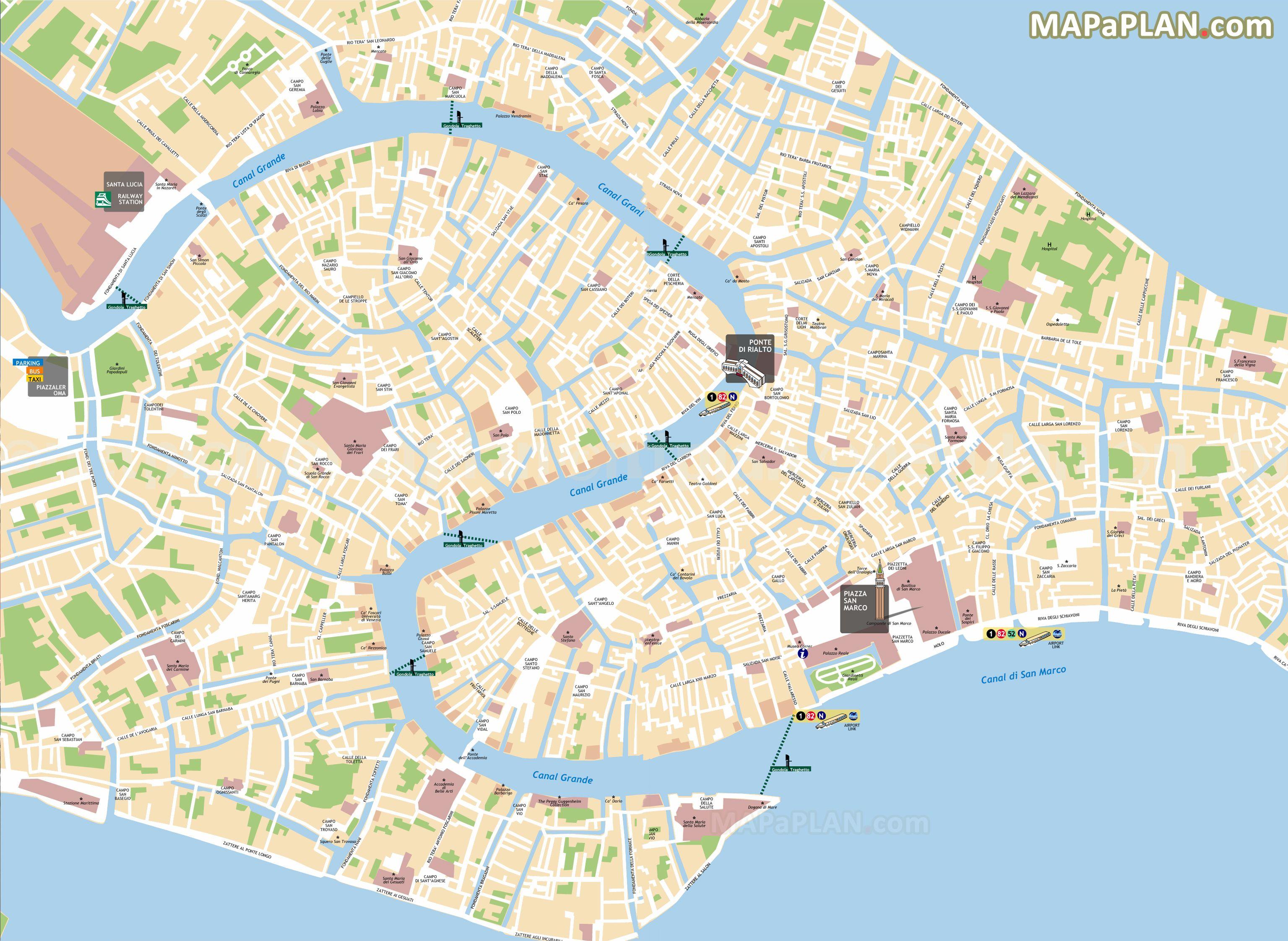
Venice gondola route map
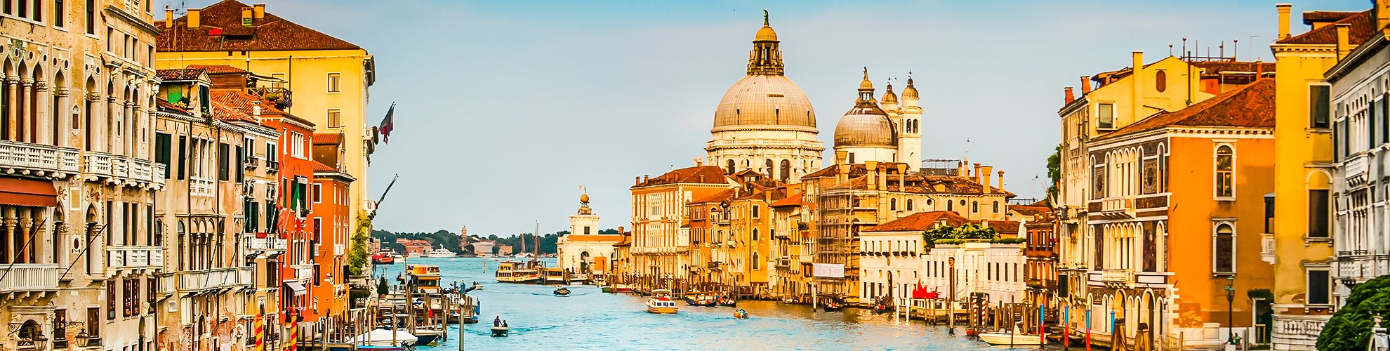
Map of Venice gondola route. Venice gondola route map (Italy) to print. Venice gondola route map (Italy) to download. The Venice gondola is a traditional, flat-bottomed Venetian rowing boat, well suited to the conditions of the Venetian lagoon. For centuries Venice gondolas were the chief means of transportation and most common watercraft within Venice. In modern times the iconic boats still have a role in public transport in the city, serving as traghetti (ferries) over the Grand Canal route as its shown in Venice gondola route map. They are also used in special regattas (rowing races) held amongst gondoliers. The gondola is propelled like punting, except an oar is used instead of a pole. Their primary role today, however, is to carry tourists on rides at fixed rates.
The Venice gondolas plying the busy Grand Canal and smaller waterways of Venice are one of the most iconic images in the world. They are the symbol of history, tradition, and romance in the city on the lagoon, and a gondola ride route in Venice ranks among one of the most dreamed-about experiences for travelers. Most people recommend taking a gondola ride on the quiet back canals rather than on the crowded Grand Canal as its mentioned in Venice gondola route map. Riding on canals outside the main tourist area lets you see a different view of Venice and there wont be bumper to bumper gondolas. Good places to find gondolas away from the Grand Canal and St. Mark Square include the San Polo and Campo San Barnaba areas, and the Jewish Ghetto.