search
Zattere Venice map
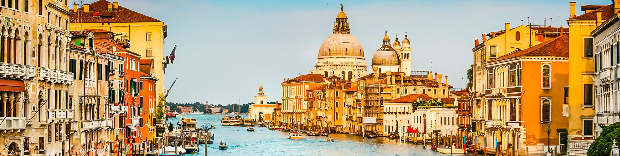
Map of zattere Venice . Zattere Venice map (Italy) to print. Zattere Venice map (Italy) to download. It is a charming little corner called Zattere (one of the oldest districts of Venice), after the ancient name of the rafts that used to descend the Po River to come and unload their cargo in Venice as its shown in zattere Venice map. Zattere Venice is an ideal place to come and breathe, relax and meditate. Because the docks are wide, there is space and they are turned towards the light, when the narrow streets of Venice city center suddenly seem too dark or too narrow to you.
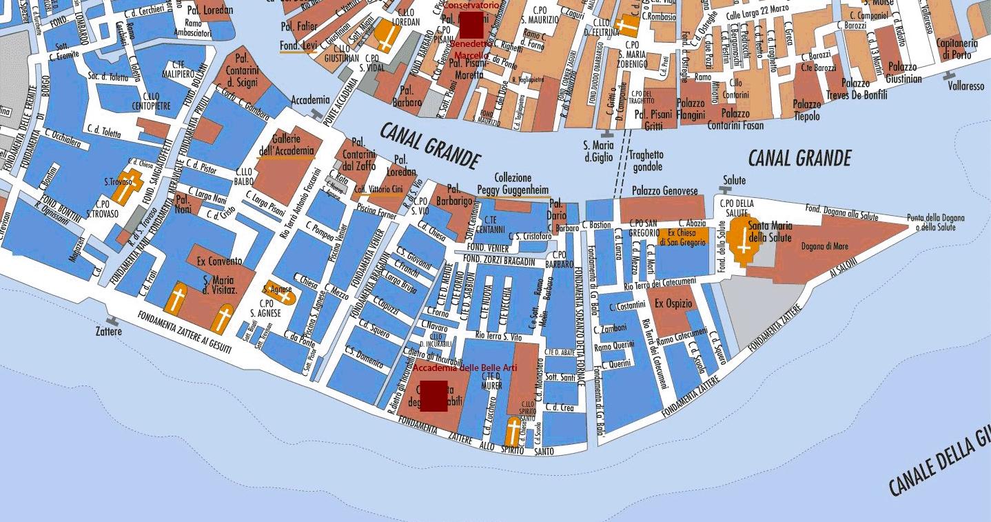
The zattere Venice is a long dock in the south area of Venice (in Dorsoduro as its mentioned in zattere Venice map). The pavement was completed in 1516. Zattere Venice goes from San Basilio (west) to Punta della Dogana (east). The whole path is about 1,7 km long and overlooks the Giudecca Canal. Zattere Venice literally means rafts.